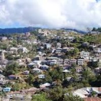
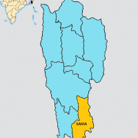
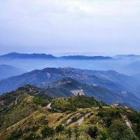
Siaha District is one of the eleven districts of Mizoram state in India. The district is bounded on the north and northwest by Lunglei district, on the west by Lawngtlai District and on the south and east by Myanmar. The district occupies an area of 1399.9 km². Siaha town is the administrative headquarters of the district. The population had decreased from 60,823 (in 2001 census) to 56,574 (in 2011 census). It is the least populous district of Mizoram (out of 8)
Siaha District was formerly part of Chhimtuipui District. In 1998 when Chhimtuipui District was split in half, the half that became Siaha District was briefly called by the old name Chhimtuipui District. Siaha (official name given by the Mara Autonomous District Council, popularly known as Saiha) is a census town in Siaha district in the Indian northeastern state of Mizoram. It is the Headquarters of the Mara Autonomous District Council, one of the three autonomous district councils within Mizoram. It is located in the South Central part of the state. The word ‘Siaha’ in the local Mara language comes from ‘Sia’ for Masia which means elephant and ‘ha’ meaning tooth – An elephant tooth. It was a place where a large amount of elephant teeth were found. Though the local people name the town as Siaha, Mizos called it by the name ‘Saiha’, which is purely a translated term in Mizo language.
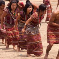
Siaha is a commercial hub for Mara people.
- Area : The district occupies an area of 1399.9 km²
- Population : 56,366 (as per 2011 census)
- Literacy rate : 90.01% , Male – 21,685, Female – 20,232 (as per 2011 census)
- Number of Blocks : There are two (2) Blocks (Siaha RD and Tipa RD)
- Divisions : There are two (2) Divisions (Siaha and Tipa)
- Villages : There are 92 Villages in the District
- Police Station : There are three (3) Police Stations within the District. Name –
- Siaha PS, Tipa PS and Phura PS
- Languages : Mara, Lai, Lushai (Mizo), English, Hindi
- Common Language is Mara

